A round trip of 420 km to find a new track linking Mae Ping National Park with Theon Buri, to the south of Lampang.
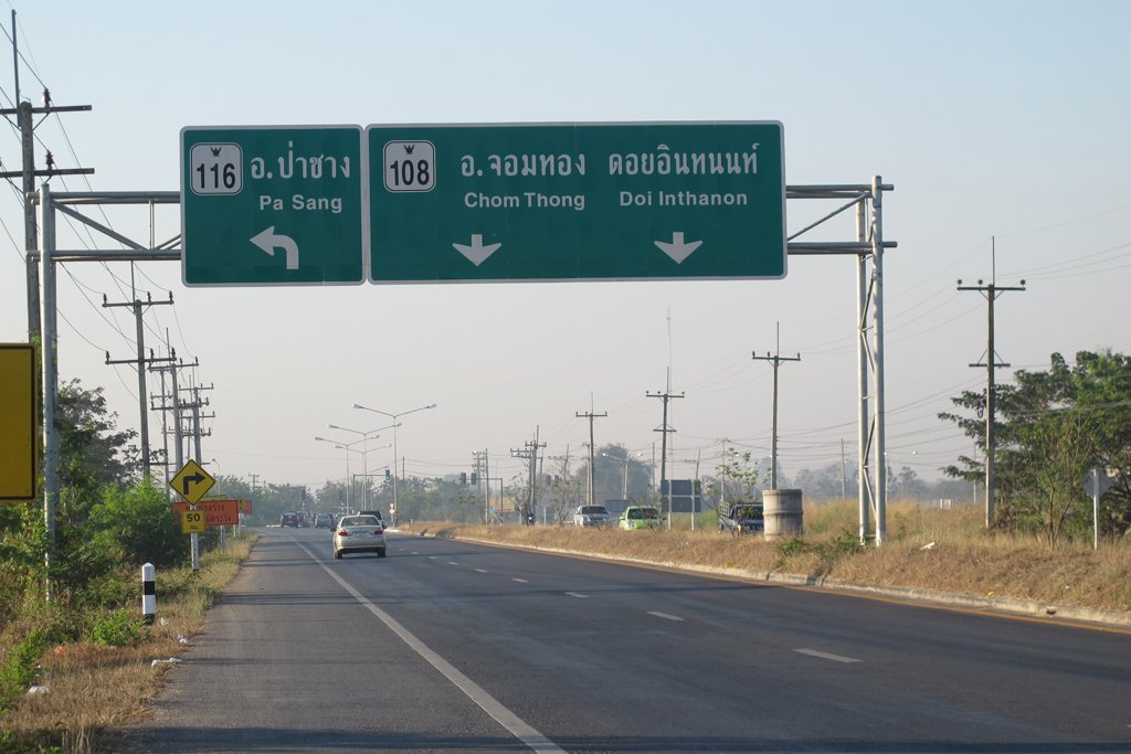
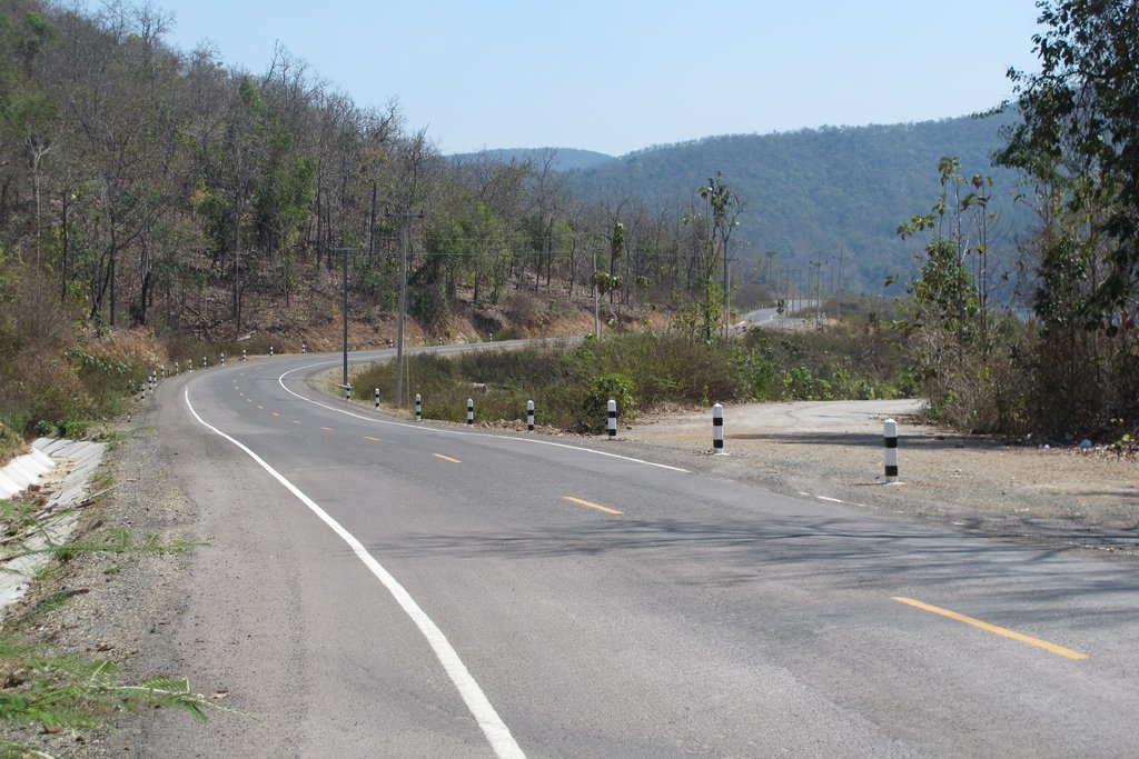
I took the 108 south towards Chom Thong and made a left at the new junction of the 116 / 108 towards Pa Sang. Interestingly there is road work development heading west at this point out towards Mae Wang, so maybe the Samoeng by-pass is going to be a reality after all!
Before the river, I swung right & took a back road & then crossed over to the 1156 and rode south to the 1010 and then followed that through to the 106 at Ban Hong.
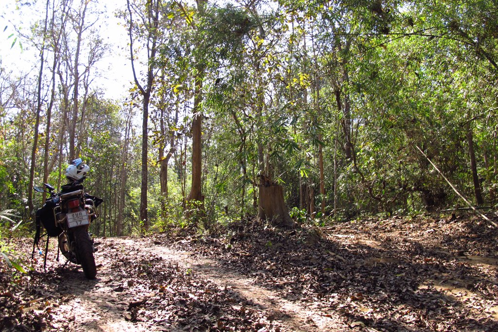
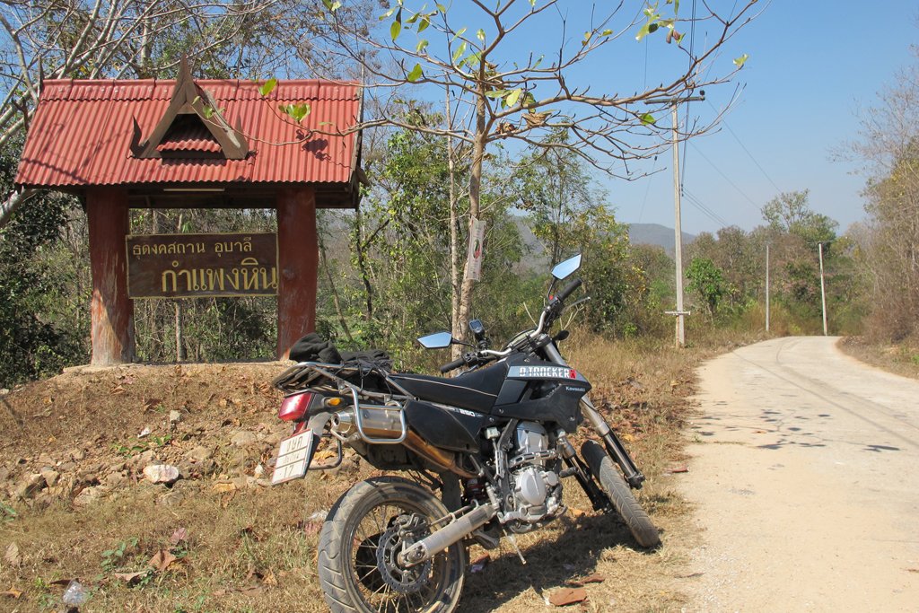
My intention was to get to Mae Ping National Park as early as I could so I rode from Sanpatong through to Li without stopping. A quick re-fuel & a coffee too, & I took the 3008, the first turning right from Li, the nicer route out to the park area.
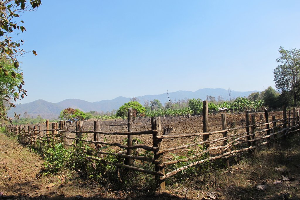
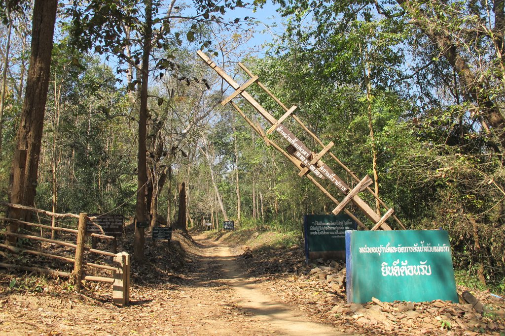
After a loo stop at & a chat with the ever friendly park attendants, I entered the park (for free) and rode until the second checkpoint / box at the side of the road. Here I woke the attendant up and he kindly opened the barrier.
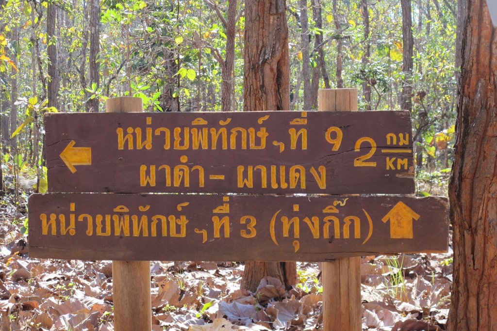
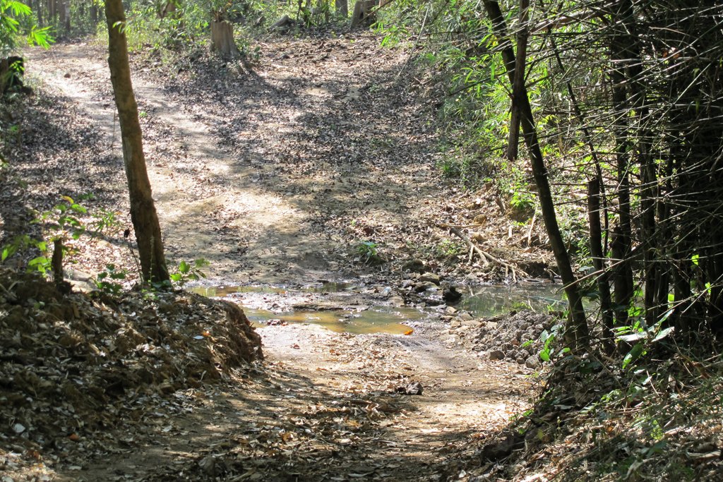
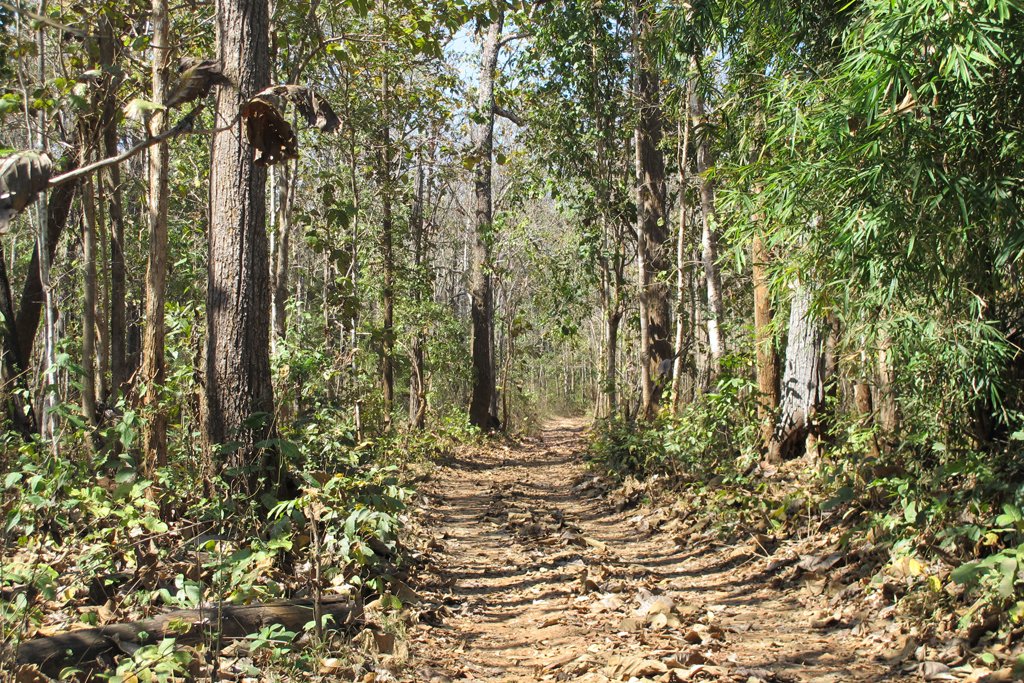
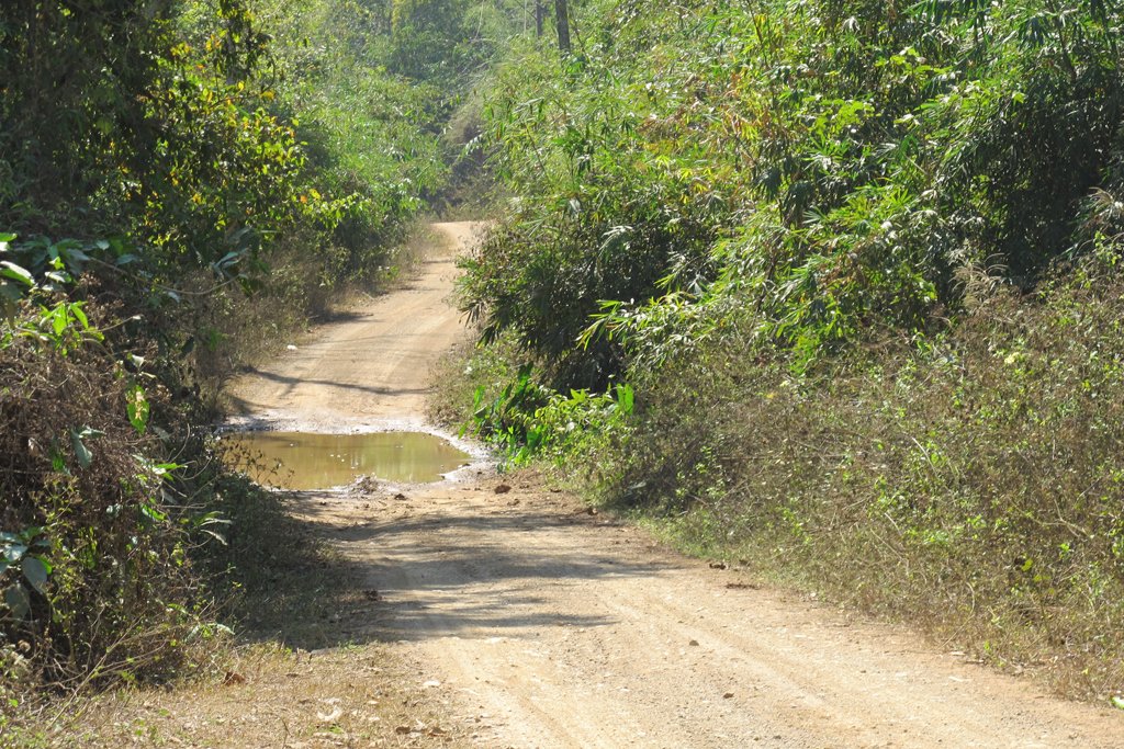
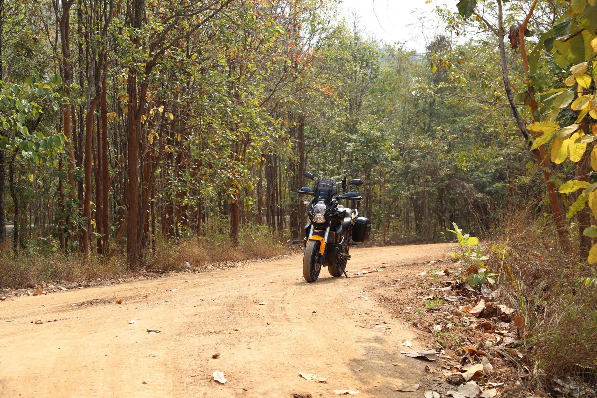
This road is well surfaced, by the look of it rarely used and a pleasure to ride. After a few km’s I saw the wooden signs pointing left & ahead.I am told they state something like ‘Reserve 9’ & ‘Reserve 3’
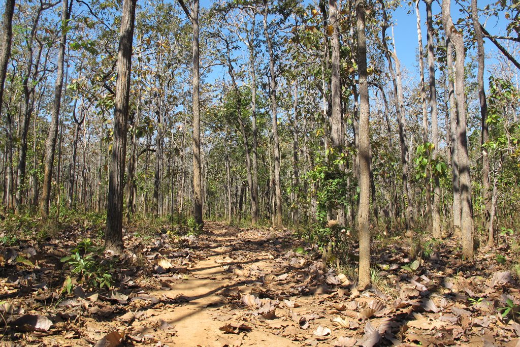
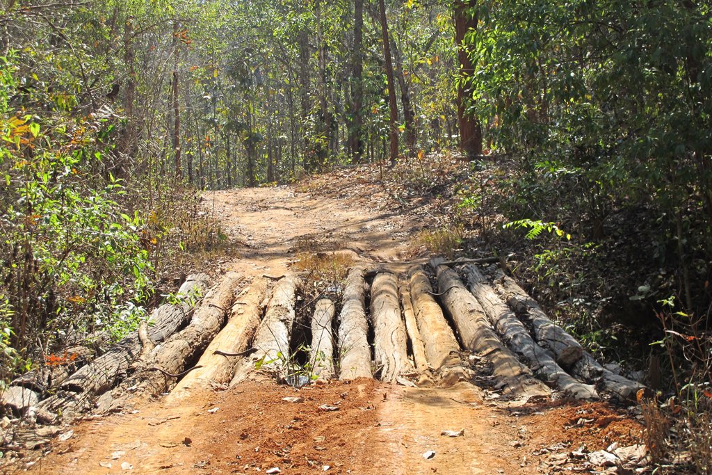
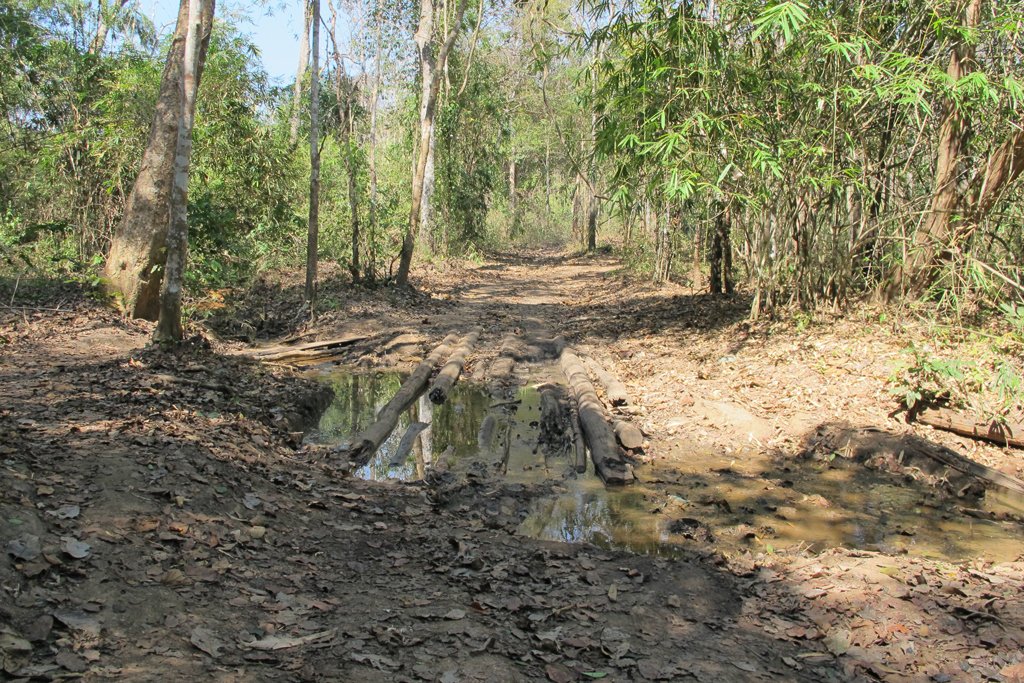
Following the dual worn tracks through this mixed forest was very easy, at times you could see evidence of wet season rutting and boggy area ride-arounds but today it was a breeze. There are a few water crossings, nothing too difficult and from start to end, I didn’t see a single human on the track.
After about an hour from the Mae Ping tarmac, I reached a village where it seemed the whole village were sat around on the street, chatting. Like a ZZ Top movie, they all sweepingly pointed left and beemed big smiles saying “Mae Prik!!”
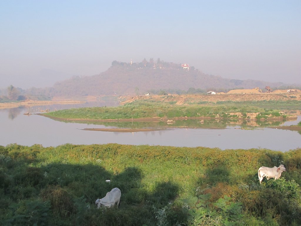
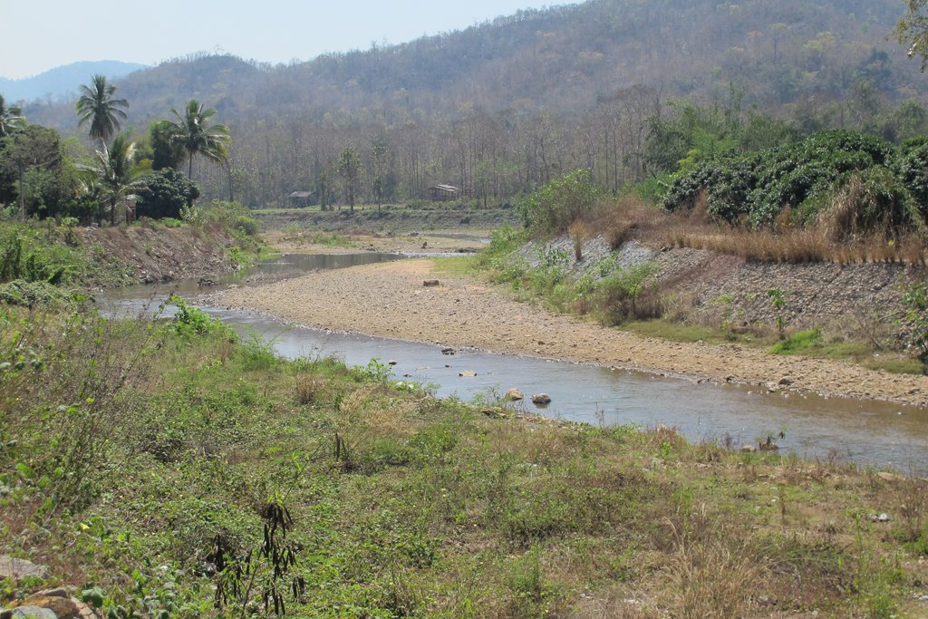
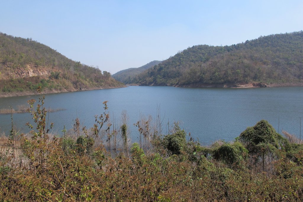
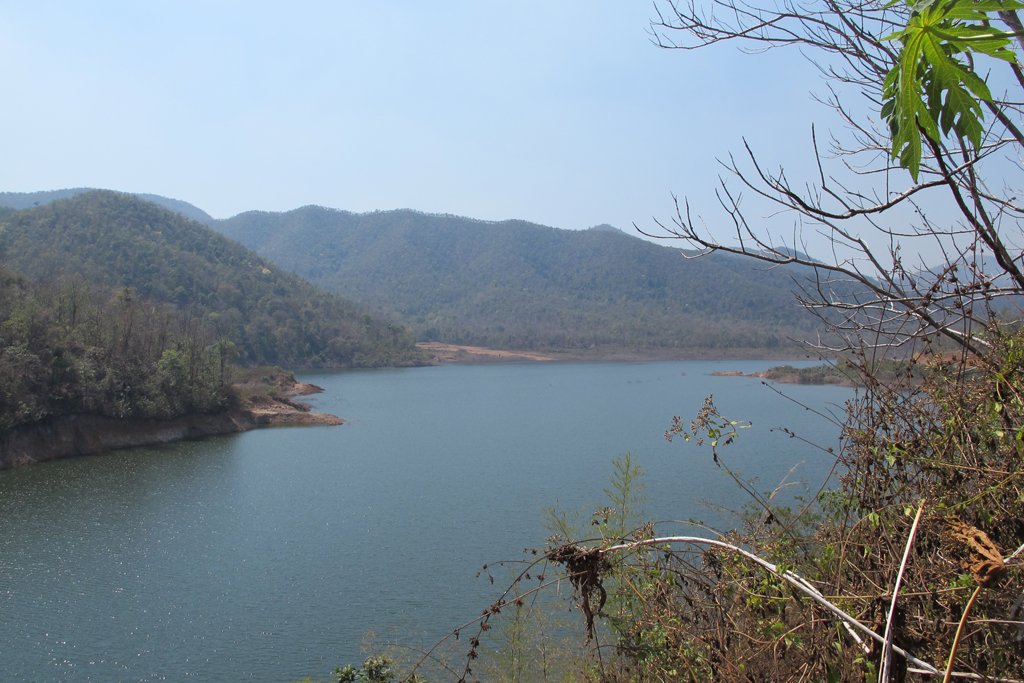
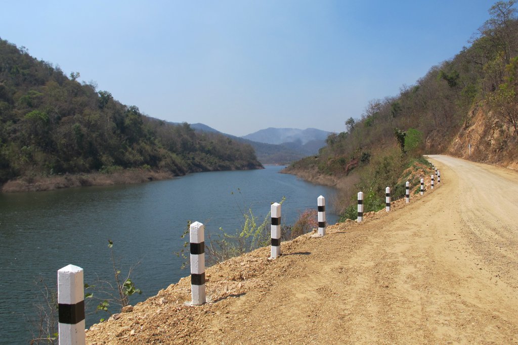
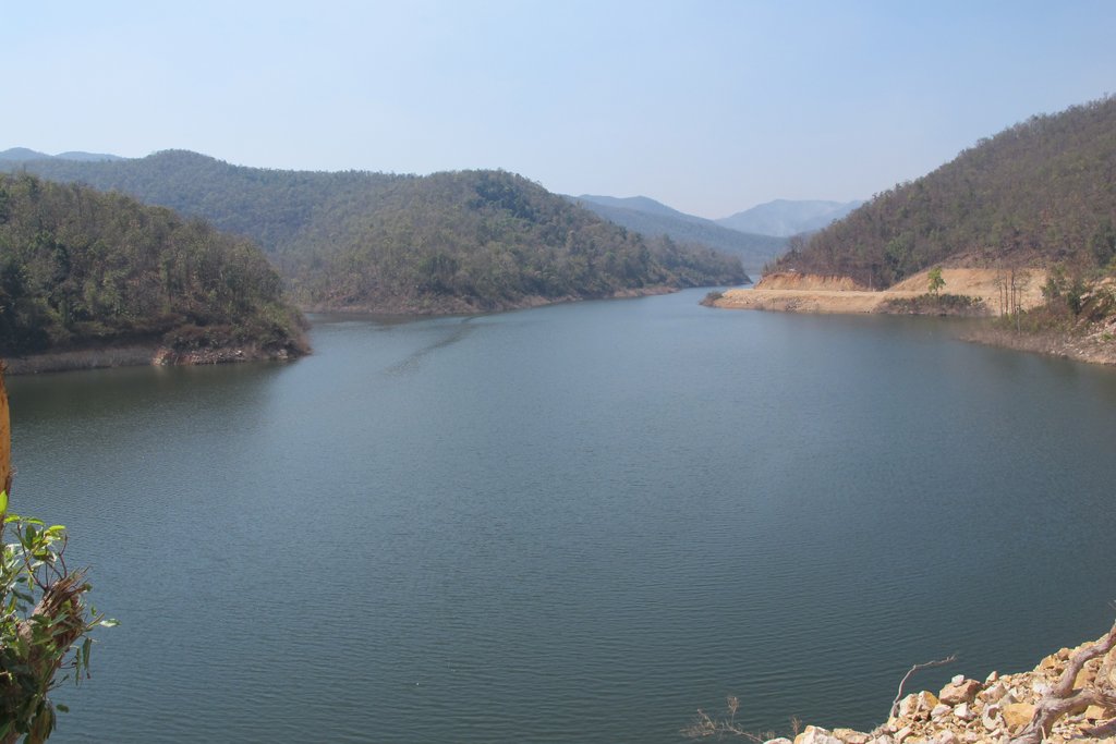
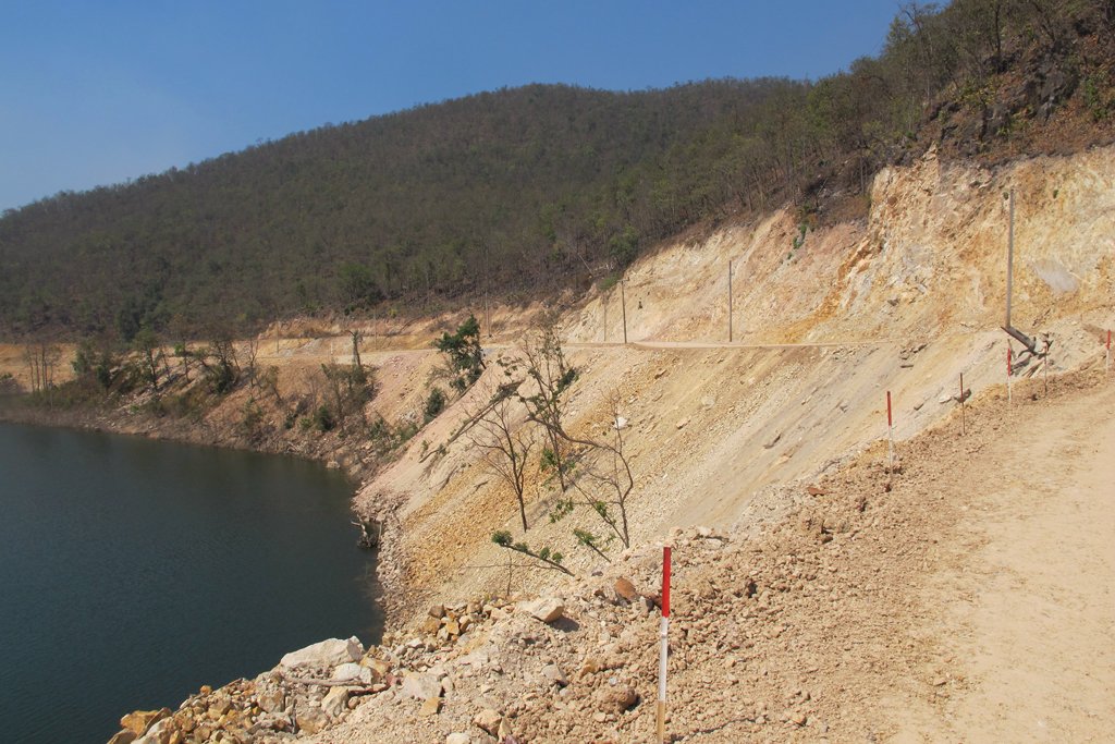
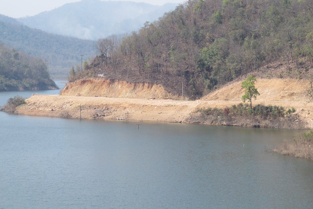
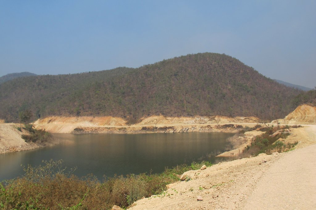
The surface now changes to solid wide road but badly pot holed, many shallow water crossings and then eventually I arrived at the tail of what I now know to be a flooded valley and the Mae Prik Reservoir.
Water always attracts me and sweeping curves of valleys, roads and embankments, made this stage of the journey something quite special. Absolutely fantastic.
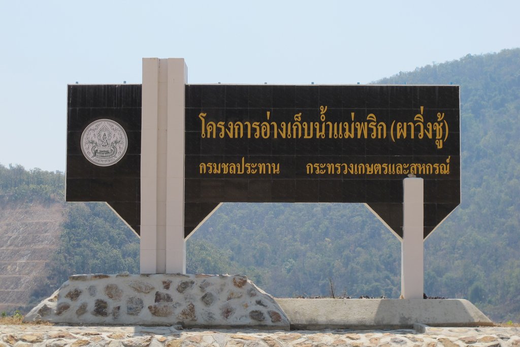
The old road can be seen in places, especially where the telephone / electricity poles poke out of the water. At the head of the dam is a sign that gives it’s name and also I am told it’s locally known name “Pa Wing Choo” which relates to the agricultural area now under water. Sadly / stupidly I do not have a decent image of the head of the dam area but I have a strong feeling it won’t be long before I am back there to get one!
From the dam, I ride south and at Mae Pu, on the river, I re-fuel & head back north again towards the 106 taking the back roads, surfacing on the 106 opposite the entrance of Mae Ap Reservoir.
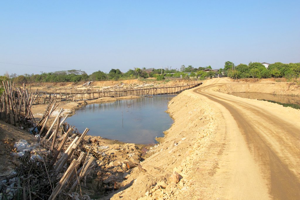
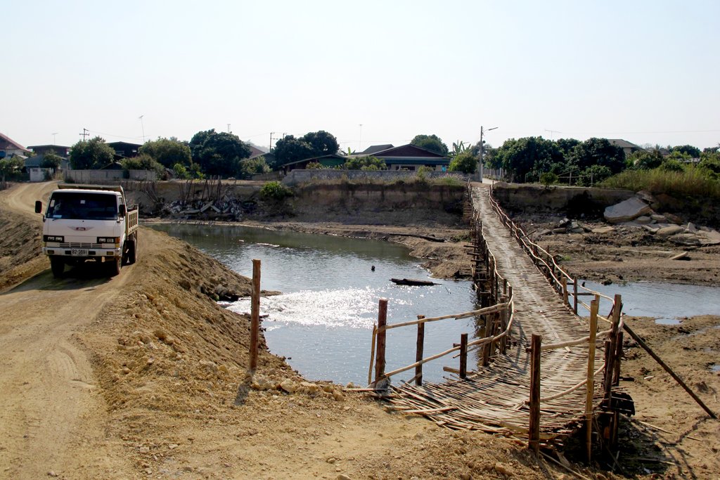
From here it is a wicked ride back to Li on the lower twisty section of the 106 and then a blast up to Ban Hong where I take a left towards Chom Thong on 3004. I wanted to check out the bridge repairs over the Mae Li that Colin & the 2 Kevin’s & I rode a while back. The long temporary bamboo bridge is still in place but now there is a massive raised bank across the river and what little water there is now flows through small pipes… Disaster waiting to happen come this summer !


Mae Ping through to Mae Prik
More in this Category
This Post Has 2 Comments
Comments are closed.
Great track, definitely worth a followup visit!?
“Like a ZZ Top movie, they all sweepingly pointed left and beemed big smiles saying “Mae Prik!!””
Have to have the ZZ top tracks playing on that ride to. Funny!
http://www.youtube.com/watch?v=ZsVRth0Yg1Y (spanish – as all others are banned !!)
Yeah !! Lets do it with beards 😉