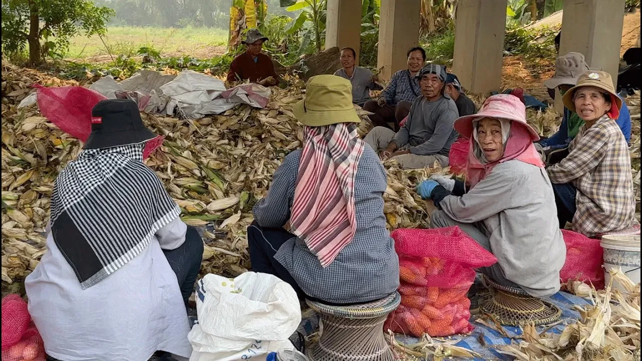
Chiang Mai Flood water comes from Mae Ngat Dam and Mae Taeng River, as well as other tributaries upstream. Mae Ngat’s full name is Mae Ngat Somboon Chon Dam and currently 7 October) stated to be at 90% full. After flying over the Mae Ngat area, I check out the Mae Taeng Irrigation Project to the west of Mae Taeng 107 road and look at the huge water holding ponds that have been developed over recent years, as well as chatting to 2 happy ladies fishing in the swollen river, successfully catching fish with their Lift Nets. I also visit the huge land mark construction of a new Chedi at Wat Pa Mu Mai, a monastic retreat set in the forest close to the Mae Taeng River.
Mae Ngat Dam
https://goo.gl/maps/NptQChbknCbTxmup9
Wat Ban Den
https://goo.gl/maps/s4UkauhKCVekrUmF7
Mae Taeng Irrigation Project
ฝ่ายส่งน้ำและบำรุงรักษาที่ 1 โครงการส่งน้ำและบำรุงรักษาแม่แตง
https://goo.gl/maps/WxsNcmRyefeyAL5u6
Wat Pa Mu Mai
https://goo.gl/maps/dmLmQXUi3k186Z627
Chiang Mai News in English Facebook
https://www.facebook.com/groups/ChiangMaiNewsinEnglish/
Artlist Music
Tiko Tiko – Endless Travel – Instrumental Version
Nobou – Hope and Glory
Chris Mason – The Wonder Years – Instrumental Version
Chiang Mai Flood water comes from Mae Ngat Dam and Mae Taeng River
More in this Category