


Route 107, 3010/4026/3009, 1095, unknown,3010/4026/3009,107,121
Distance 138km
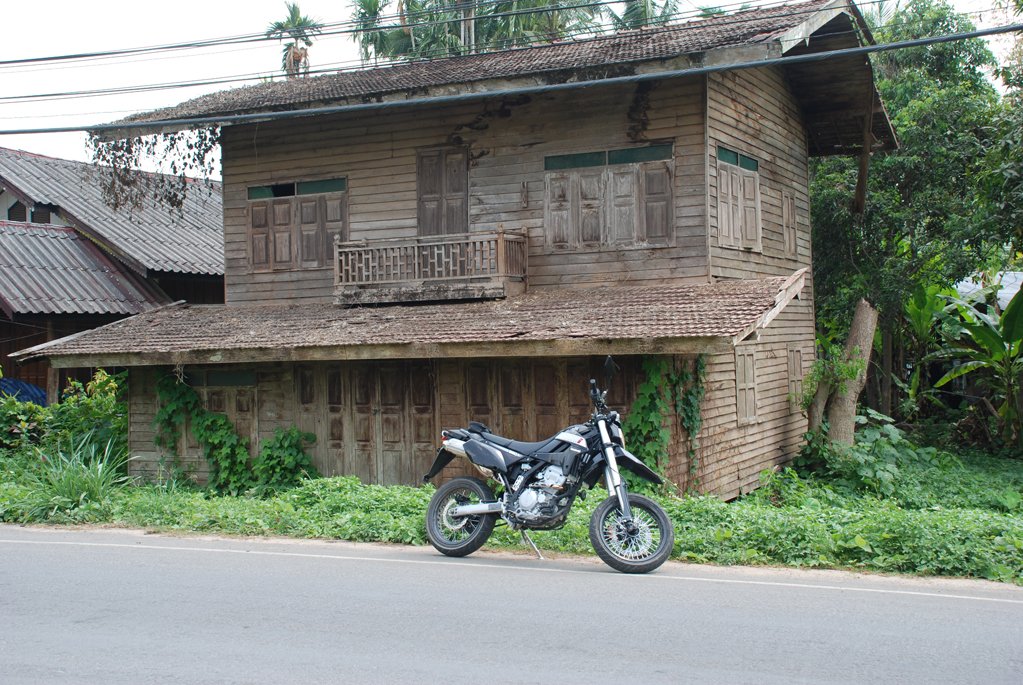
After a busy morning at Prem Center near Mae Rim, helping with a presentation to pupils with Care for Dogs, I headed out on the 3010 away from the 107 until its end, where it joins the 1095.
Strangely the 3010 on my gps tells me it turns into the 4026 but the sign at the end of the road says 3009.
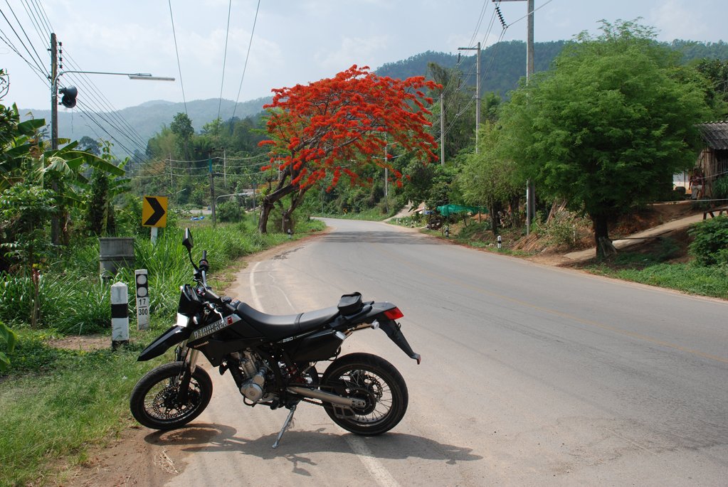
I turned left onto the 1095 towards Pai and at Pang Hang I stopped for Coffee & bickies at Pankled Coffee Corner.
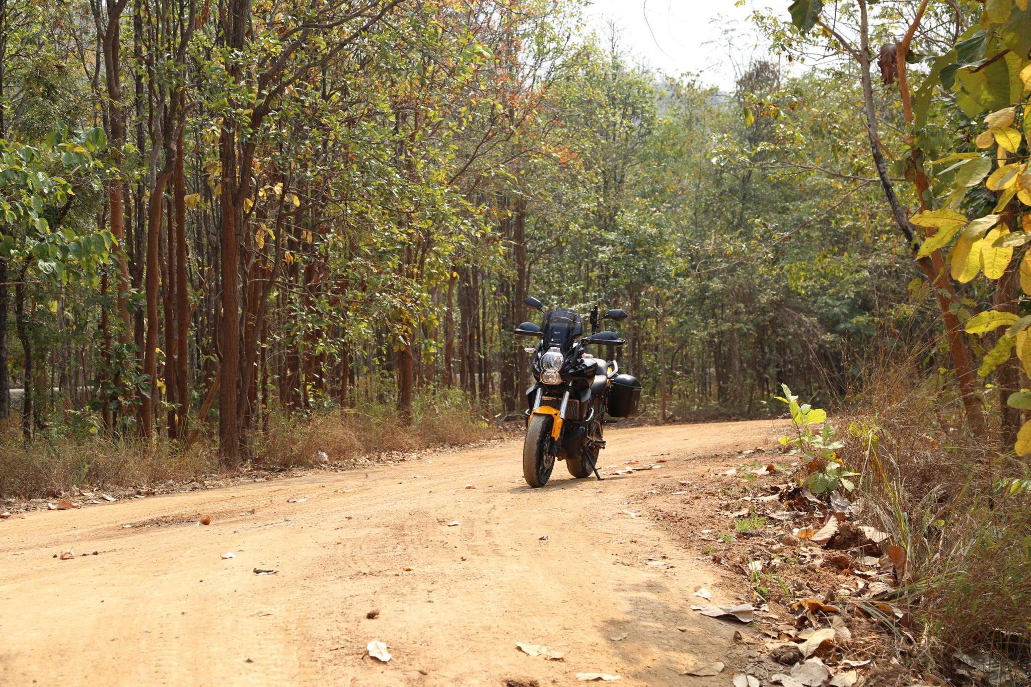
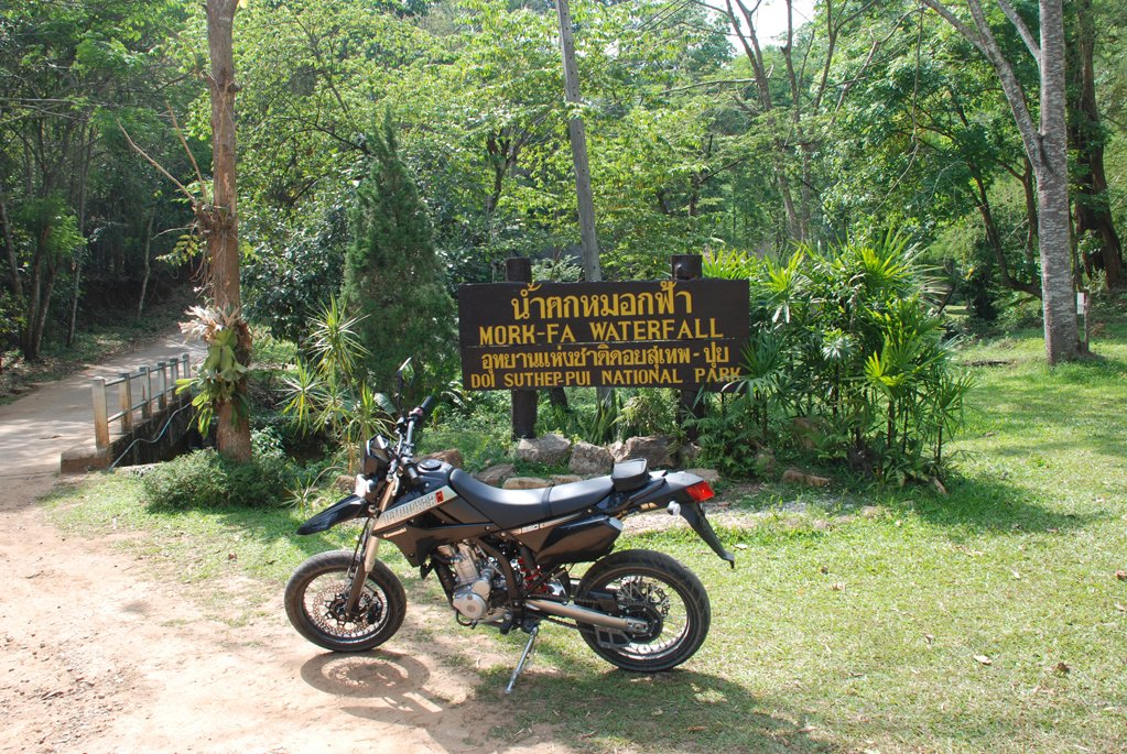
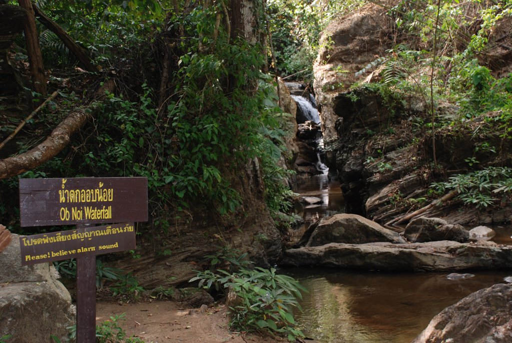
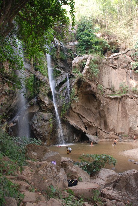
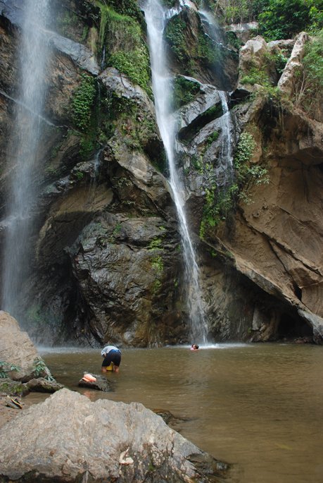
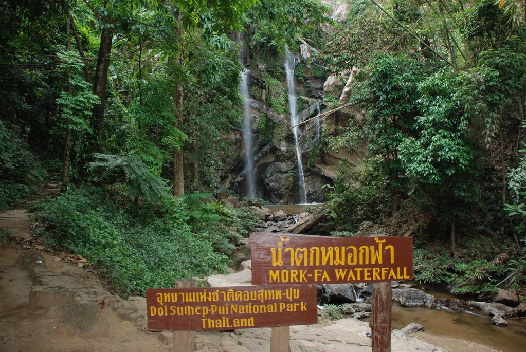
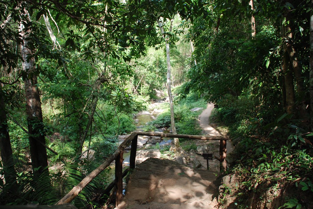
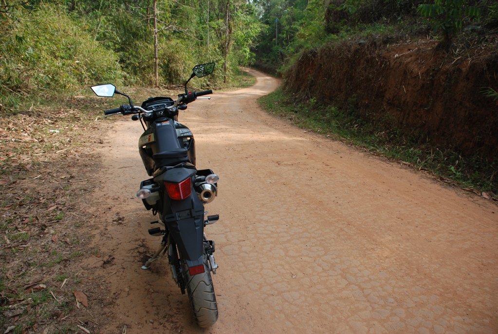
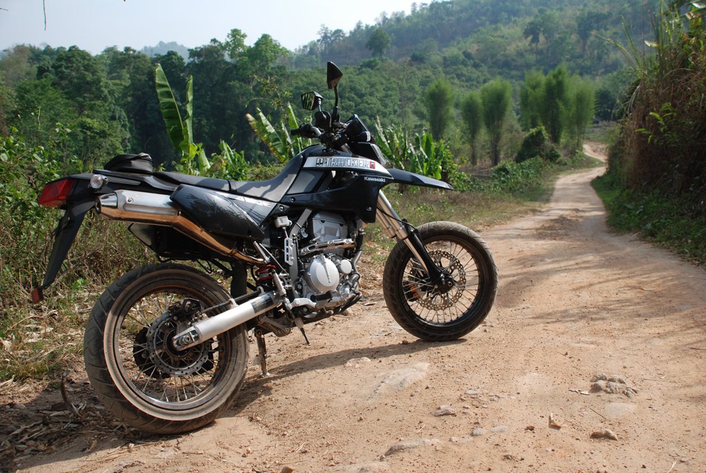
From here I took the side exit to a concrete and hard packed soil track sign posted towards Mork Fa Waterfall. A great track to find out the manageability of the bike in some sizeable ruts and loose surface. I felt very comfortable and content with my & the the bikes performance!
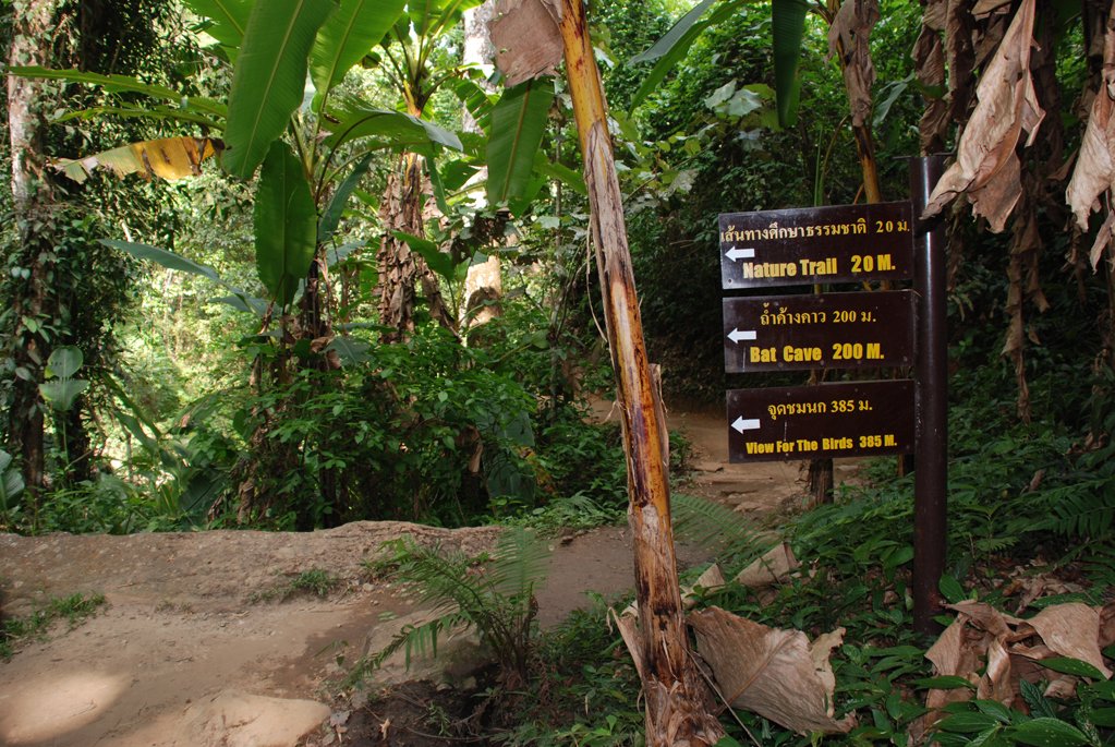
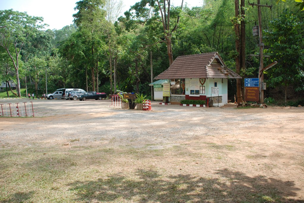
At the ticket office, I played my usual game, not speaking, letting them ask for 70 baht and then me questioning why so expensive. I paid the 30 baht ‘local’ fee and parked the bike for a pleasant walk to the waterfall.
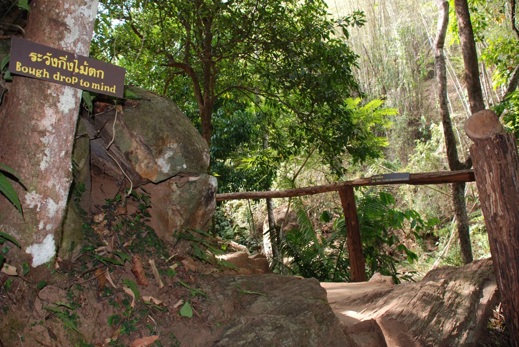
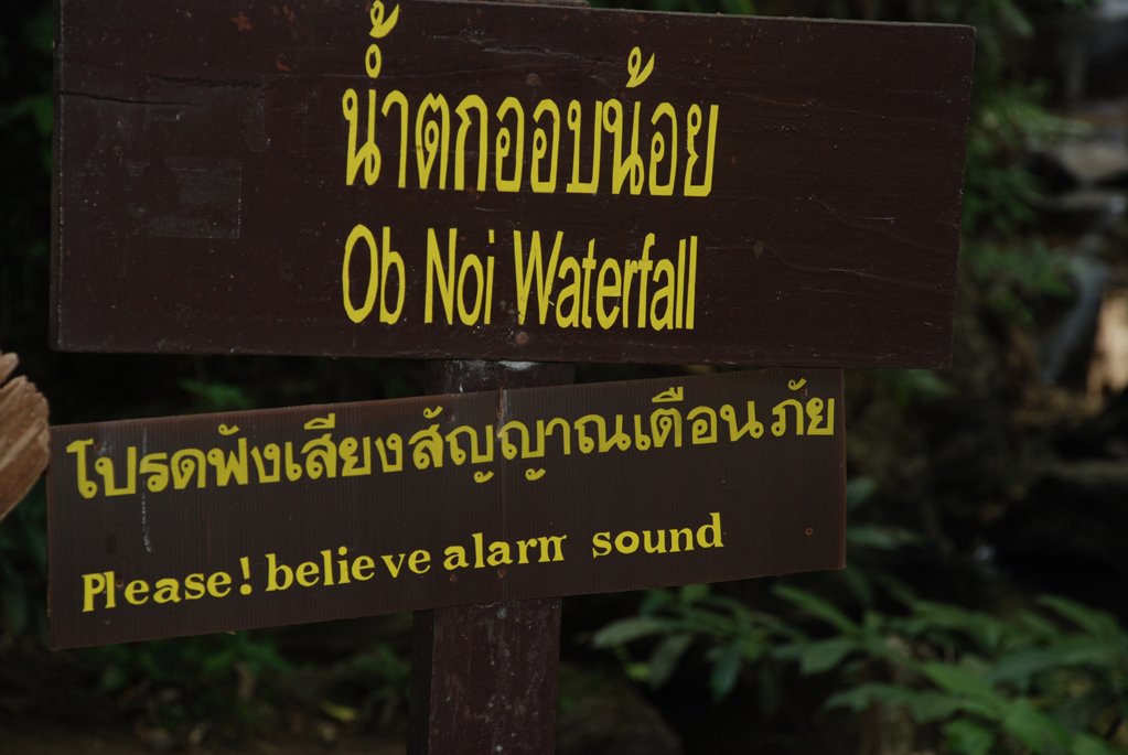
I thought the signs here were strange until I nearly pooped myself hearing a cracking noise above me and saw a massive bamboo hurtling down the steep embankment.
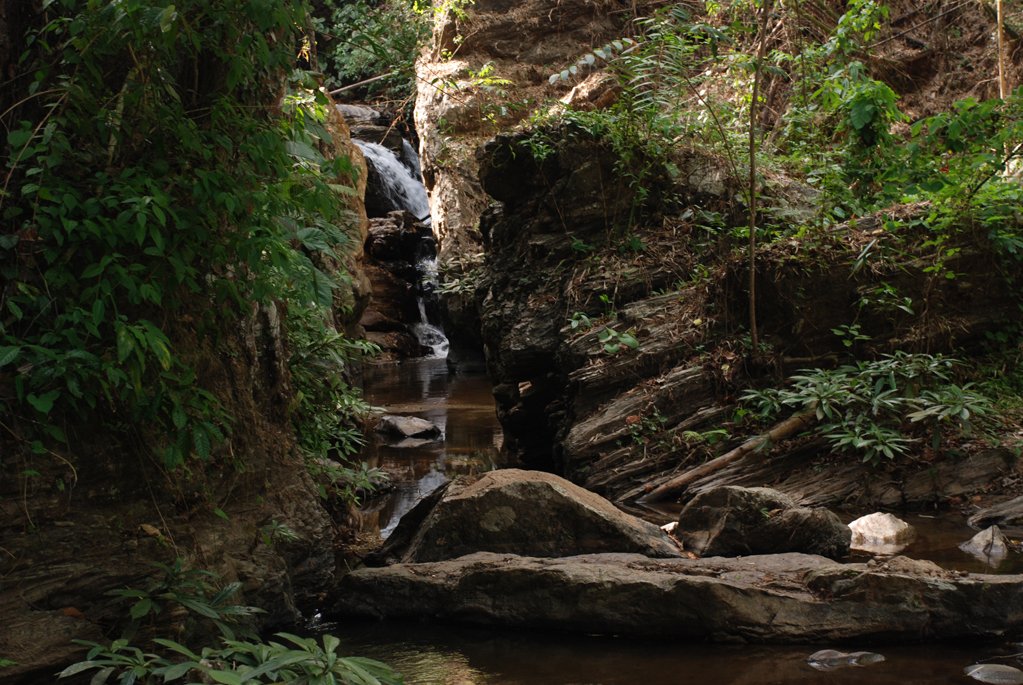
The water today was low compared to a specimen photo at the payment kiosk but it was worth the walk and I will add this to the places to visit later in the wet season.
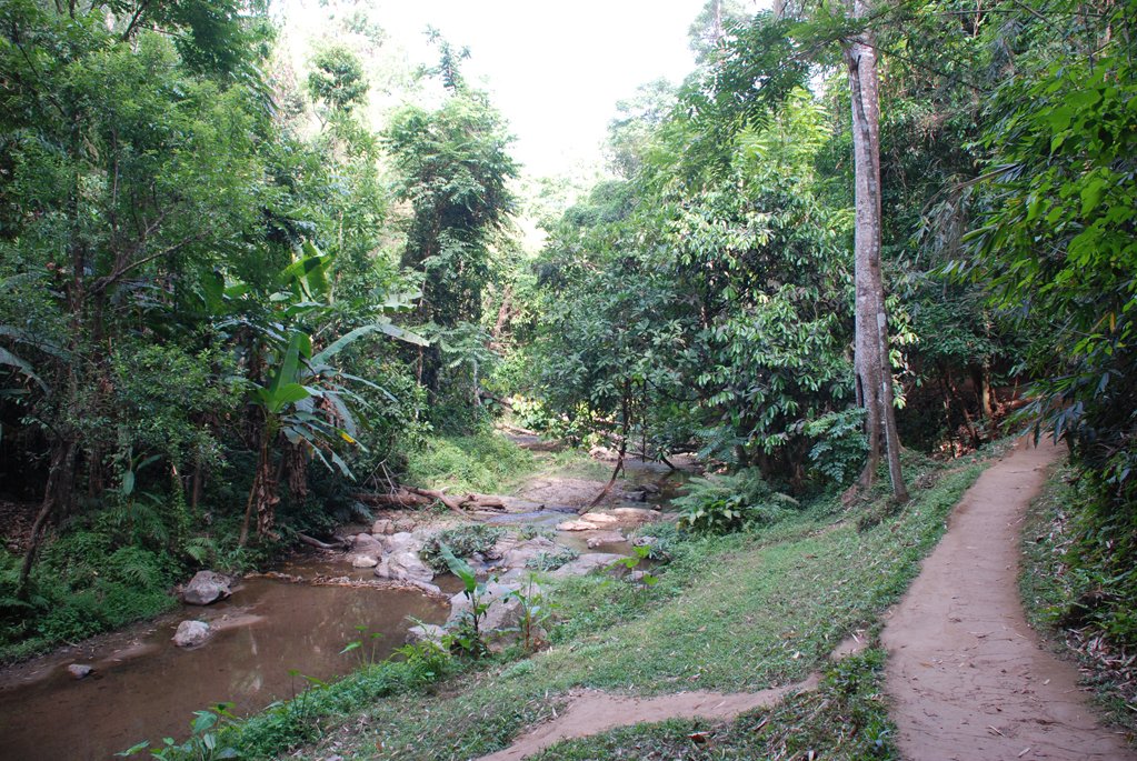
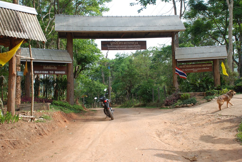
On past the kiosk, I follow this track up to Mae Lod and then eventually Pha Taek.
I keep following the ‘main’ hardened soil and the route was surprisingly busy with a couple of trucks and many farmers on their bikes.
But then after Pha Taek, I come to a small village that is not on the GTR map and is definitely not as far south as Ban Lak. I am at GPS location N19.03.897 E098.46.537 Here is a fork.
In hindsight, I can now identify with plotted gps way points (this route is not on my esri map) that this is track I am following is the one on the GTR map and does continue to Ban Lak & returns to the 3010 at Pa Tung.
I say in hind sight, as at this point I took the right fork and up the mountain.
An amazing ride through forests and orchards with so many splendid views. At times I considered being lost but with the confidence of this ‘go anywhere’ bike, I couldn’t care less.
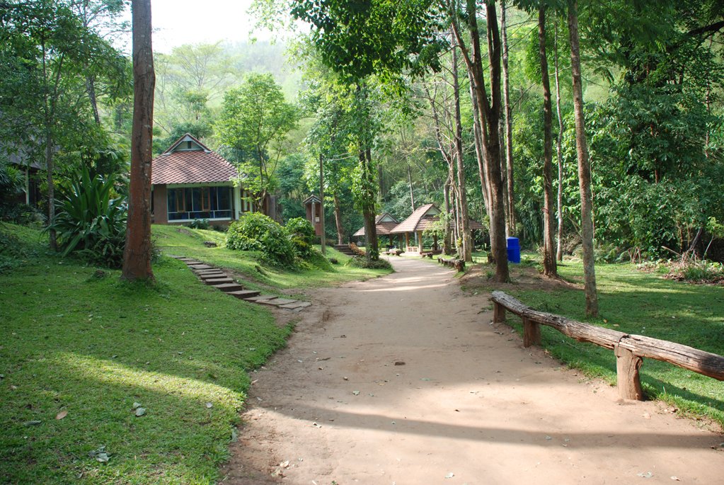
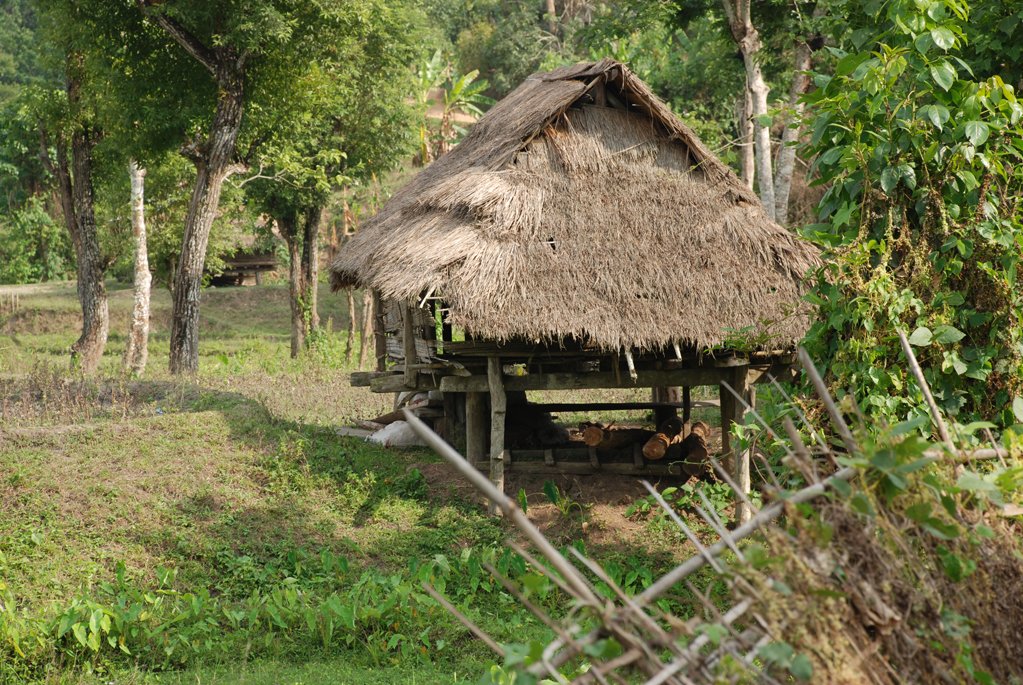
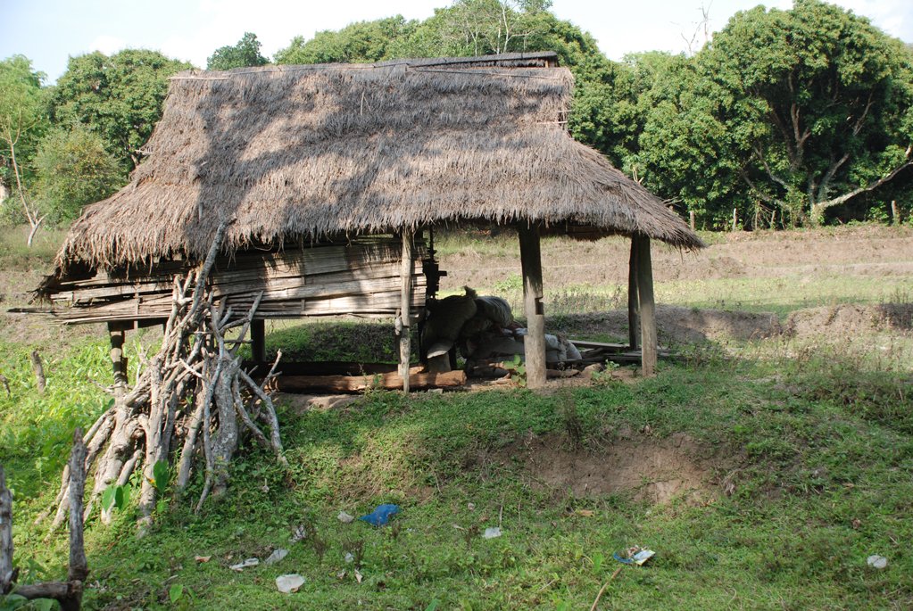
Eventually I emerge into a clearing and some type of residence.
Continuing on, I travel through dark forest and extremely steep tracks which were quite exhilarating.
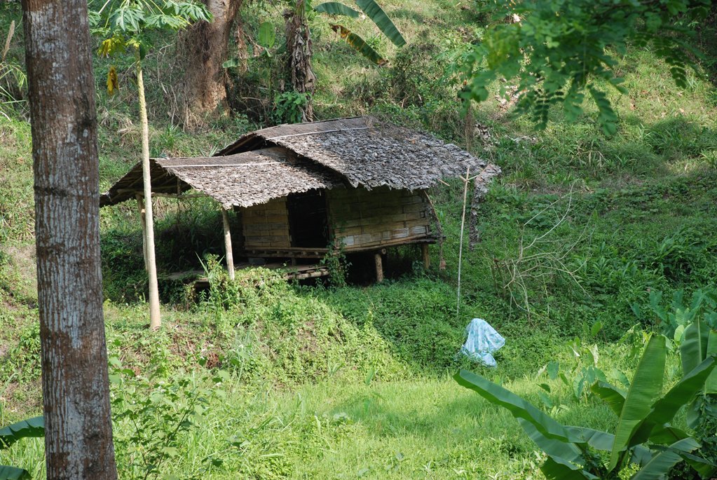
Finally I exit soil track onto concrete at a sign that tells me, if I could read Thai, that the residence I had past was a meditation retreat called Pa Maing pha Daen.
This concrete rises up to my right and descends steeply to my left. Looking at the GTR map, I deduce I am near the peak of the mountain height indicator ‘1224’ GPS location N19.01.668 E098.46.418
The concrete is in perfect condition and this road down the mountain is a terrific ride. Reading the signs along the way, I believe there is a temple at the top where I have come from, so yet another place to visit another day.
Indeed the sign here says Wat Phra Poot Tabad Sii Loy (Temple with 4 foot marks ??)
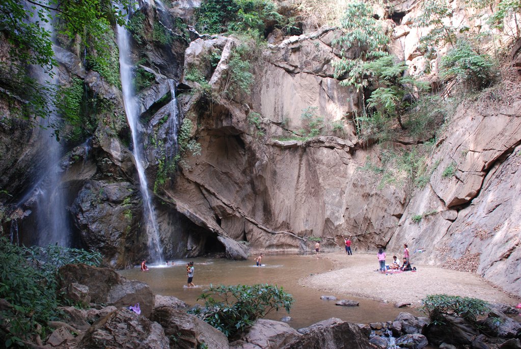
Almost off the mountain, I come across a sign to Sai Mok Waterfall. This little grotto type place is in a dishevelled state and with such little water too, was a bit of a disappointment.
I now pass through Huai Somsuk and eventually come to a T junction plastered with signs. To the right I am now advised read Mae Rim 15km but I took the left from gut instinct and ride to Wat Nong Kai and then eventually onto the 3010/4026/3009 combo at Wat San Pa Tueng.
From here it is a straight run back to the 107 north of Mae Rim, right down towards Chiang Mai and then right onto the 121 Canal Road & home.
Exhilarating and very enjoyable. The ride & the bike.
Mork Fa Waterfall Ban Pa Daen & Sai Mok Waterfall
More in this Category